
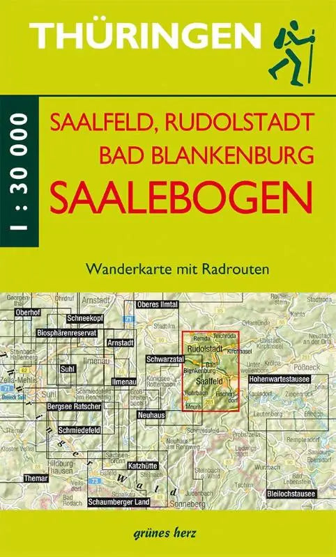

Saalebogen walking map – a detailed topographic map of Saalfeld, Rudolstadt, and Bad Blankenburg with Mit Remda, Teichröda, Kirchhasel, Watzdorf, Rohrbach, Meura, and Fischersdorf. The map has a scale of 1:30,000. This product is an extensive topographic publication intended for nature lovers and hikers who want to explore the Saalebogen region. The map provides a clear and accurate depiction of roads and hiking routes.
The publication is suitable as a reference work or for targeted use during excursions in the area. Thanks to the clear presentation and completeness, this hiking map is also practical for professional use and field planning.
- Subtitle: Mit Remda, Teichröda, Kirchhasel, Watzdorf, Rohrbach, Meura, Fischersdorf
- Format: topographic maps with scale 1:30,000