
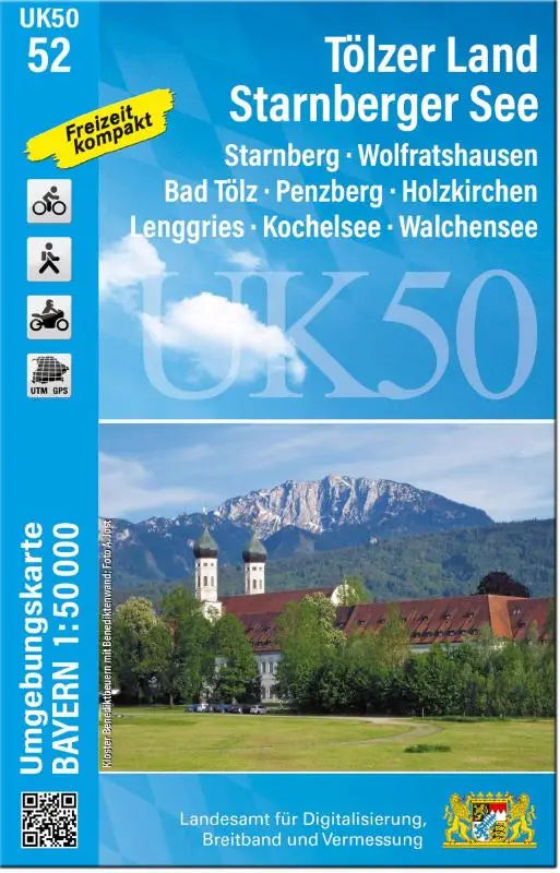

The UK50-52 Lake Starnberg area is a detailed topographic map of the region around Starnberg, Wolfratshausen, Bad Tölz and the surrounding area. This edition provides clear maps for use in recreation, research and planning. The product is part of the series Amtliche Topographische Karten Bayern with a scale of 1:50,000.
The maps are carefully compiled and suitable for users who want precise and accessible topographic information. Suitable as a reference work or for targeted use in the field for various activities around Lake Starnberg and Tölzer Land.
- Subtitle: Starnberg, Wolfratshausen, Bad Tölz, Penzberg, Holzkirchen, Lenggries, Kochelsee, Walchensee
- Series: Amtliche Topographische Karten Bayern surrounding maps 1 : 50 000
- Format: topographic maps