
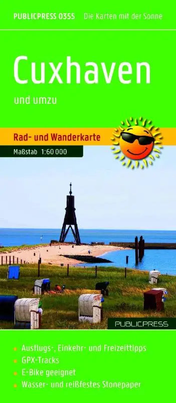

The Publicpress cycle and hiking map of Cuxhaven and surrounding area is a detailed cycling and walking map with a city plan, intended for cyclists and hikers in the Cuxhaven region. This publication combines topographic maps with practical information on mapped routes, places of interest, and rest spots.
The map is made from weather- and tear-resistant material, making it suitable for use outdoors. With a scale of 1:60,000 and a detailed city street plan (1:18,500), the map provides accurate GPS support for navigation.
- Subtitle: Cycle and hiking map with excursion destinations, stopover and leisure tips, with city plan (1:18,500), weatherproof, tear-resistant, wipe-clean, GPS-accurate
- Format: topographic maps, scale 1:60,000