
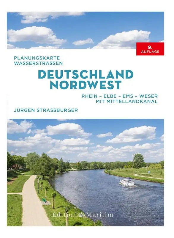

Planning map waterways Germany Northwest - Rhine-Elbe-Ems-Weser. With Mittelland Canal is an extensive planning map of the waterways in Northwest Germany. This publication provides detailed information about the main shipping routes, including the Mittelland Canal.
The map is designed for professionals and enthusiasts who want to gain insight into the infrastructure of waterways in Germany. The clear format makes it suitable for both direct reference and in-depth use as a reference work.
- Subtitle: Rhine-Elbe-Ems-Weser. With Mittelland Canal
- Series: Edition MAritim
- Format: paperback