

```html
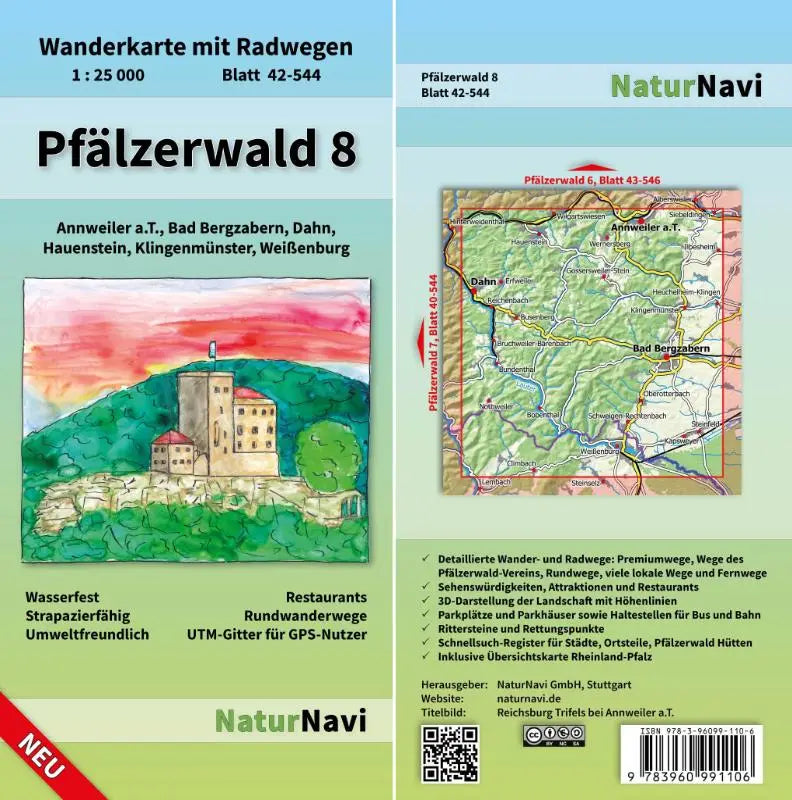
Palatinate Forest 8th. Sheet 42-544, 1 : 25,000 - Hiking map with cycle routes. Annweiler a.T., Bad Bergzabern, Dahn, Hauenstein, Klingenmünster, Weißenburg is a detailed topographic hiking map with cycle routes, aimed at recreational use in the Bad Bergzabern region. This map provides clear and accurate information for hikers and cyclists.
The map is part of the NaturNavi Wanderkarte mit Radwegen 1:25,000 series and offers an easy-to-understand overview of hiking and cycling routes, suitable for both relaxing and planning trips.
- Subtitle: Hiking map with cycle routes. Annweiler a.T., Bad Bergzabern, Dahn, Hauenstein, Klingenmünster, Weißenburg
- Series: NaturNavi Wanderkarte mit Radwegen 1:25,000
- Format: topographic maps with hiking and cycling routes
```