
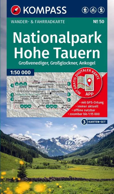

KOMPASS offers a set of topographic hiking maps for the Hohe Tauern National Park, including three maps of the Großvenediger, Großglockner, and Ankogel. The maps are on a scale of 1:50,000 and include a map for offline use in the KOMPASS app.
These comprehensive maps are suitable for a variety of outdoor activities such as cycling and ski tours. They provide a clear depiction of terrain and routes, making them ideal both for recreational use and for preparing trips.
- Subtitle: including a map for offline use in the KOMPASS app. Cycling. Ski tours.
- Series: KOMPASS Hiking Map Set
- Format: topographic maps