
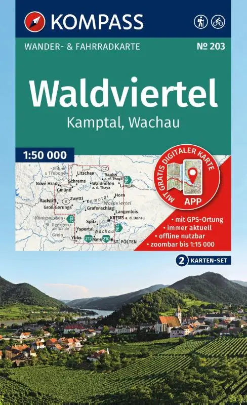

KOMPASS Wanderkarten-Set 203 provides detailed topographic maps of the Waldviertel, Kamptal, and the Wachau at a scale of 1:50.000. This set of two maps is ideal for cyclists and other outdoor activities, including a map for offline use in the KOMPASS app.
The maps are part of the kompass wanderkarten-set and are a reliable source for route planning and navigation in this region. The edition is carefully compiled for users who want insight and an overview during their outdoor adventures.
Product information
- Subtitle: including map for offline use in the KOMPASS app. Cycling.
- Series: KOMPASS Wanderkarten-Set
- Format: topographic maps