
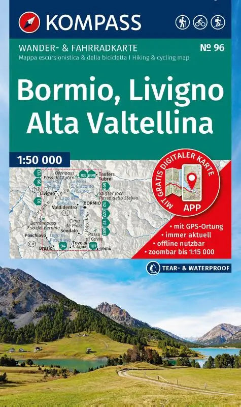

KOMPASS Hiking Map 96 is a detailed hiking and cycling map of Alta Valtellina, Bormio and Livigno at a scale of 1:50,000. This topographic map combines hiking and cycling routes and can also be used offline via the KOMPASS app.
The map is suitable for recreational hikers and cyclists who prefer precise and easy-to-follow navigation in the Alpine region of Alta Valtellina. Thanks to the combination of the hiking and cycling map, this map provides a complete overview of routes and ski tours.
Features of this Kompass hiking map
- Subtitle: Hiking and cycling map in one – including offline use in the KOMPASS app. Hiking & cycling routes. Ski tours.
- Series: Kompass Hiking Maps
- Type: topographic maps