
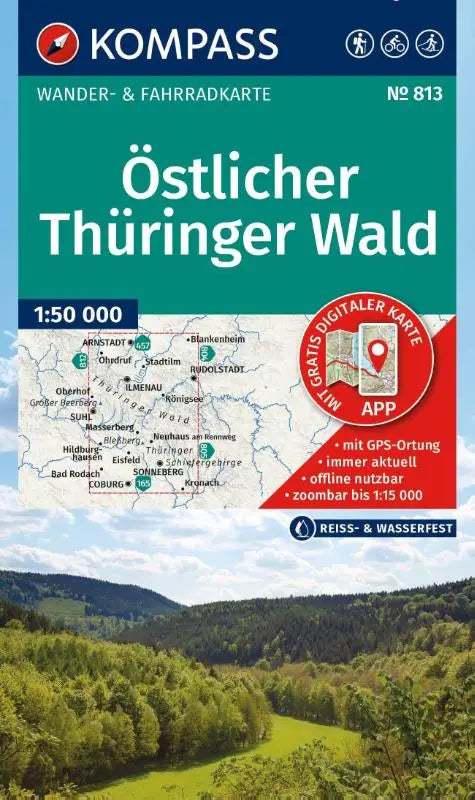

The compass touring map 813 Eastern Thuringian Forest is a detailed hiking and cycling map designed for recreational use in this region. This topographic map combines information for hiking and cycling, including routes for cross-country skiing, and is suitable for offline use via the KOMPASS app.
This edition offers clear maps and extensive route information, ideal for both tourists and local recreation seekers who want to actively explore. The product is part of the Kompass Wanderkarten series and is known for its reliable and easy-to-read presentation.
- Subtitle: Hiking and cycling map in one — including offline use in the KOMPASS app. Hiking & cycle paths. Cross-country skiing.
- Series: Kompass Wanderkarten
- Format: Topographic maps