
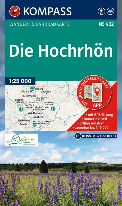

KOMPASS Wanderkarte 462 The Hochrhön is a detailed hiking and cycling map at a scale of 1:25,000, suitable for both trekking and recreational use. This walking and cycling map combines topographic maps with practical information about routes and can be used offline via the KOMPASS app.
This edition is suitable for everyone looking for extensive and up-to-date hiking and cycling routes in the Hochrhön region. The map provides a clear and accessible depiction of paths, terrain, and points of interest, making it ideal for route planning and navigation.
- Subtitle: Hiking and cycling map in one – including offline use in the KOMPASS app
- Series: Kompass Wanderkarten
- Format: topographic maps