
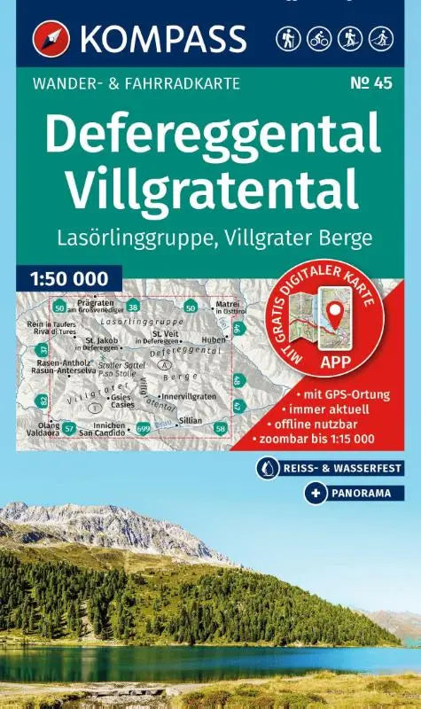

KOMPASS Walking Map 45 Defereggental, Villgratental, Lörling Group, Villgrater Mountains 1:50,000 is a detailed hiking and cycling map designed for outdoor enthusiasts. This topographic map combines walking and cycling routes and also offers offline use via the KOMPASS app. Ideal for planning trips in the region, with a clear overview of panoramas, ski tours, and cross-country skiing routes.
The map is suitable for users who consider navigation and route planning important during hiking and cycling holidays. Thanks to the combination of walking and cycling paths, it is a practical choice for a wide range of outdoor sports.
- Part: Hiking and cycling map including offline use in the KOMPASS app
- Series: Kompass Walking Maps
- Type: Topographic maps at a scale of 1:50,000