
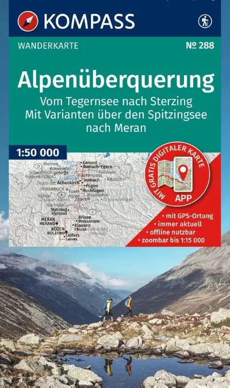

The KOMPASS hiking map 288 charts the route from Tegernsee to Sterzing in detail, including alternative routes via the Spitzingsee to Meran. This topographic overview is available at a scale of 1:50,000 and provides complete offline access via the KOMPASS app.
This reliable hiking map is ideal for hikers who want to thoroughly explore the route from Tegernsee to Sterzing. The map supports both planning and use during the tour and is suitable as a practical reference work.
- Subtitle: Hiking map – including offline use in the KOMPASS app. Hiking trails.
- Series: Kompass hiking maps
- Format: topographic maps