
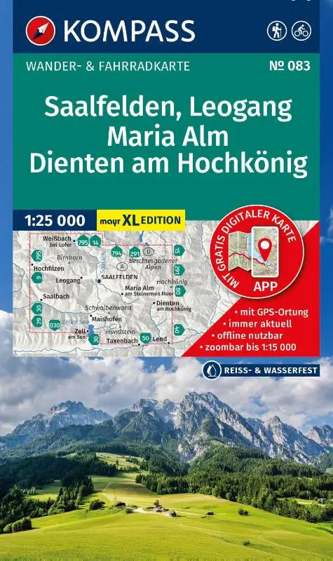

The KOMPASS hiking map 083 Saalfelden, Leogang, Maria Alm, Dienten am Hochkönig offers detailed topographic maps at a scale of 1:25,000. This edition includes a walking and cycling map in the Walter Mayr large print format with clear maps and is also available for offline use in the KOMPASS app.
This precise compass hiking map is suitable for hikers, cyclists, and winter sports enthusiasts looking for reliable information about routes and terrain in the Maria Alm region. The material supports targeted planning and navigation during various outdoor activities.
- Subtitle: XL Maps: Walking and cycling map in the Walter Mayr large print format – including offline use in the KOMPASS app
- Series: Kompass hiking maps
- Format: Topographic walking and cycling map