
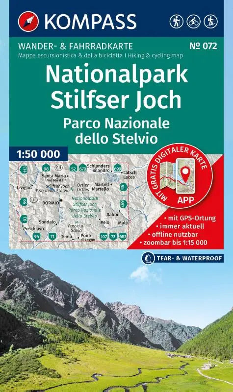

KOMPASS Hiking Map 072 National Park Stelvio Pass offers a detailed topographic map of the Stelvio Pass National Park at a scale of 1:50,000. This map combines hiking and cycling routes and is suitable for offline use via the KOMPASS app. The overview includes hiking, cycling, and ski tour paths for versatile navigation in the area.
This publication is intended for nature lovers and outdoor enthusiasts who want to explore the Stelvio Pass National Park in depth. Clear maps and practical information make it a reliable tool for recreation and adventure.
- Subtitle: Hiking and Cycling Map in one — including offline use in the KOMPASS app. Hiking & cycling routes. Ski tours.
- Series: Kompass Hiking Maps
- Format: topographic maps