
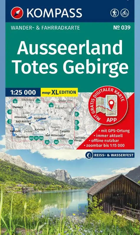

KOMPASS Walking Map 039 Ausseerland, Totes Gebirge 1:25,000 is a detailed walking and cycling map published by Kompass. This topographic map is specially designed for use in the Walter Mayr large print format and includes offline use in the KOMPASS app. Ideal for walking and cycling enthusiasts who want to explore the Totes Gebirge.
The map provides an accurate depiction of walking and cycling routes and is suitable as a reliable navigation aid in the region. This product is intended for anyone looking for practical, clear maps for outdoor activities in the Ausseerland and the surrounding mountain area.
- Subtitle: XL Maps: Walking and Cycling Map in Walter Mayr Large Print - including Offline Use in the KOMPASS App. Walking & Cycle Routes.
- Collection: Kompass Walking Maps
- Product type: topographic walking and cycling map