
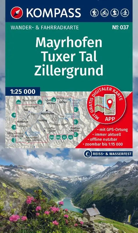

KOMPASS hiking map 037 offers a detailed hiking and cycling map of the Mayrhofen, Tuxer Tal and Zillergrund area at a scale of 1:25,000. This combined hiking and cycling map includes clear topographic maps, suitable for outdoor activities such as hiking, cycling, ski touring and cross-country skiing.
The map is designed for users who want a reliable and practical route guide, including the option for offline use in the KOMPASS app. This makes the area around Tuxer Tal easy to explore for both recreational and more experienced athletes.
- Subtitle: Hiking and cycling map in one — including offline use in the KOMPASS app. Hiking & cycling routes. Ski tours. Cross-country skiing.
- Series: Kompass hiking maps
- Format: topographic maps