
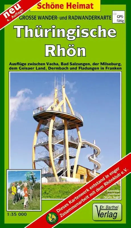

De Great cycling and hiking map of Thuringian Rhön - Trips between Vacha, Bad Salzungen, the Milseburg, the Geisa area, Dermbach and Fladungen in Franconia. 1:35000 is a detailed topographical cycling and hiking map. This edition focuses on routes in the area between Vacha, Dermbach and Fladungen and the Geisa area.
This fully prepared and accessible map edition is suitable for recreational use and as a reference work. The clear presentation makes it easy to find the right route on the way and provides insight into the terrain.
- Subtitle: Trips between Vacha, Bad Salzungen, the Milseburg, the Geisa area, Dermbach and Fladungen in Franconia. 1:35000
- Series: Beautiful Homeland
- Format: topographical maps