
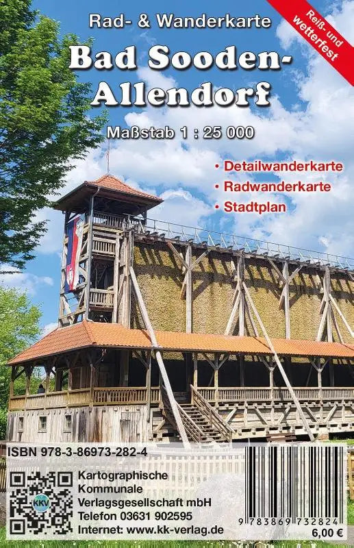

The Bad Sooden-Allendorf cycling and hiking map with city plan is a practical product for cyclists and walkers. Produced by a reputable publisher, this map provides clear topographical information and a detailed street map of the town.
Specially designed as a rugged, trip- and weather-resistant edition, this hiking and cycling map is suitable for outdoor use and on the go. The easy-to-read design helps with route planning and provides a clear gateway to the area around Bad Sooden-Allendorf.
- Map type: cycling and hiking map with city plan
- Features: trip- and weather-resistant (tear- and weather-proof)
- Format: topographical maps