
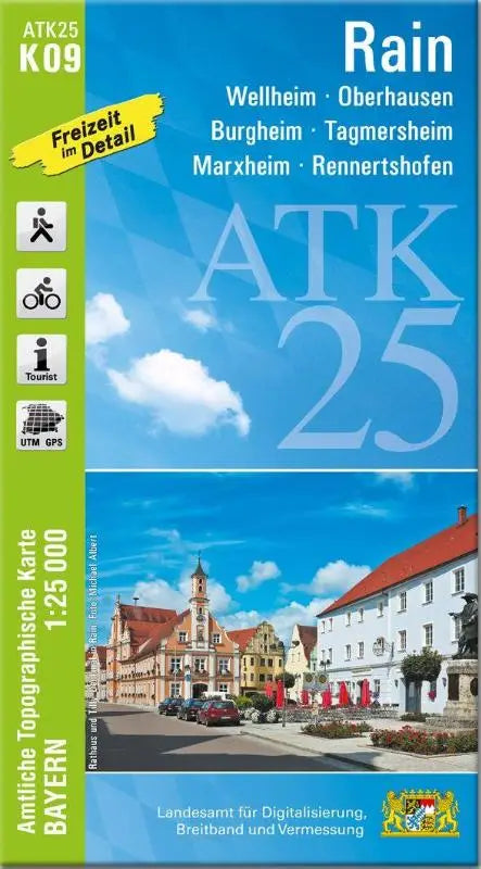

The ATK25-K09 Rain is a detailed topographic map from the series Amtliche Topographische Karten Bayern 1:25000. This official topographic map focuses on the area around Wellheim, Oberhausen, Burgheim, Tagmersheim, Marxheim, and Rennertshofen.
This topographic map provides a clear and accurate depiction of the terrain, suitable for professional use, field reconnaissance, and planning. It offers a reliable overview for anyone who wants to explore the geographical characteristics of this area.
- Subtitle: Wellheim, Oberhausen, Burgheim, Tagmersheim, Marxheim, Rennertshofen
- Series: Amtliche Topographische Karten Bayern 1:25 000 ATK 25
- Format: topographic maps