
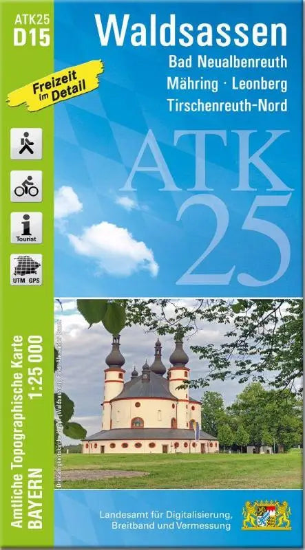

De ATK25-D15 Waldsassen (Official Topographic Map 1:25,000) is a detailed topographic map of Bad Neualbenreuth, Mähring, Leonberg and Tirschenreuth-Nord. This official topographic map provides accurate geographic information for professional and recreational use.
This topographic map is suitable for users looking for reliable and accessible maps for navigation, planning, or studying the area. Its clear layout makes it a practical source for a wide range of applications.
- Subtitle: Bad Neualbenreuth, Mähring, Leonberg, Tirschenreuth-Nord
- Series: Official Topographic Maps Bavaria 1:25,000 ATK 25
- Format: topographic maps