
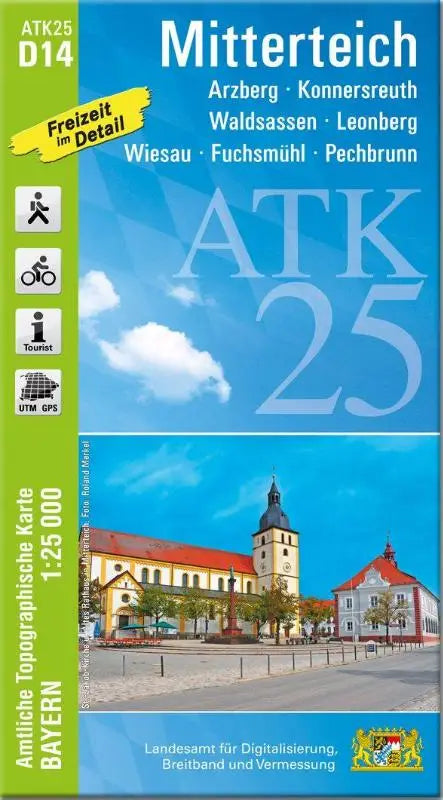

ATK25-D14 Mitterteich (Official Topographic Map 1:25,000) is a detailed topographic map of areas such as Arzberg, Konnersreuth, Waldsassen, Leonberg, Wiesau, Fuchsmühl and Pechbrunn. This official topographic map is suitable for professionals and interested parties who need accurate maps for study or practical applications.
The ATK25-D14 Mitterteich offers clear and easy-to-use maps that work well as a reference work or for focused research. This topographic map is part of the series Official Topographic Maps Bavaria 1:25,000 and is a reliable source for detailed terrain representation.
- Subtitle: Arzberg, Konnersreuth, Waldsassen, Leonberg, Wiesau, Fuchsmühl, Pechbrunn
- Series: Official Topographic Maps Bavaria 1:25,000 ATK 25
- Format: topographic maps