
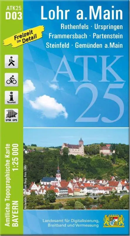

De ATK25-D03 Lohr a.Main (Official Topographic Map 1:25,000) provides a detailed topographic map of Rothenfels, Urspringen, Frammersbach, Partenstein, Steinfeld and Gemünden a.Main. This product is part of the series Amtliche Topographische Karten Bayern 1:25,000 and is suitable for professional and recreational use.
This topographic map provides clear, accurate information for users who want to work systematically with landscape and terrain information. The execution is well-designed and practically usable as a reference work or support for on-site reconnaissance.
- Subtitle: Rothenfels, Urspringen, Frammersbach, Partenstein, Steinfeld, Gemünden a.Main
- Series: Amtliche Topographische Karten Bayern 1:25,000 ATK 25
- Format: topographic maps