
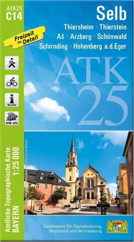

ATK25-C14 Selb (Official Topographic Map 1:25,000) provides detailed topographic maps of regions such as Thiersheim, Thierstein, As, Arzberg, Schö nwald, Schirnding, and Hohenberg a.d. Eger. This official topographic map is part of the series Official Topographic Maps Bavaria 1:25,000 ATK 25 and is aimed at users who need accurate geographic information.
The publication is suitable for professional purposes and as a reference work for anyone who wants to explore topographic map imagery in depth. The maps are designed to be accessible and easy to overview, making them simple to use and analyze.
- Subtitle: Thiersheim, Thierstein, As, Arzberg, Schö nwald, Schirnding, Hohenberg a.d. Eger
- Series: Official Topographic Maps Bavaria 1:25,000 ATK 25
- Format: topographic maps