
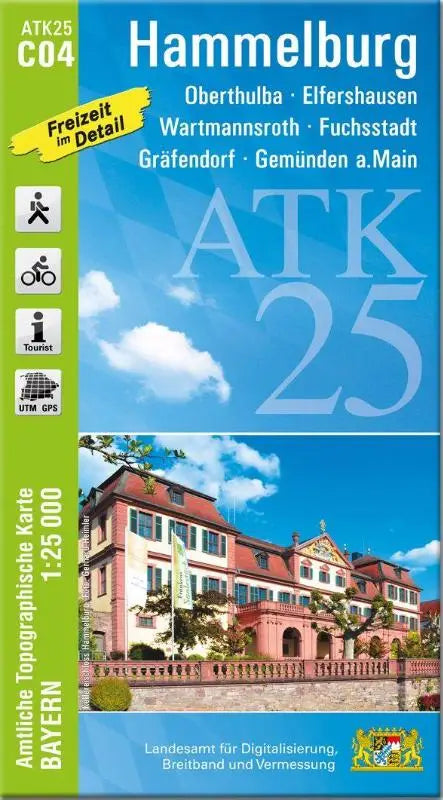

ATK25-C04 Hammelburg is an official topographic map at a scale of 1:25,000, suitable for professional use and detailed studies of the area around Oberthulba, Elfershausen, Wartmannsroth, Fuchsstadt, Gräfendorf and Gemünden am Main. This topographic map contains current and accurate data for terrain and area analysis.
This accessible product provides a detailed overview for users interested in cartography, geographic information, and terrain exploration. The map is a reliable source for both terrain planning and reference material.
- Part of the series: Official Topographic Maps Bavaria 1:25 000 ATK 25
- Format: official topographic map
- Map number: ATK25-C04 Hammelburg