
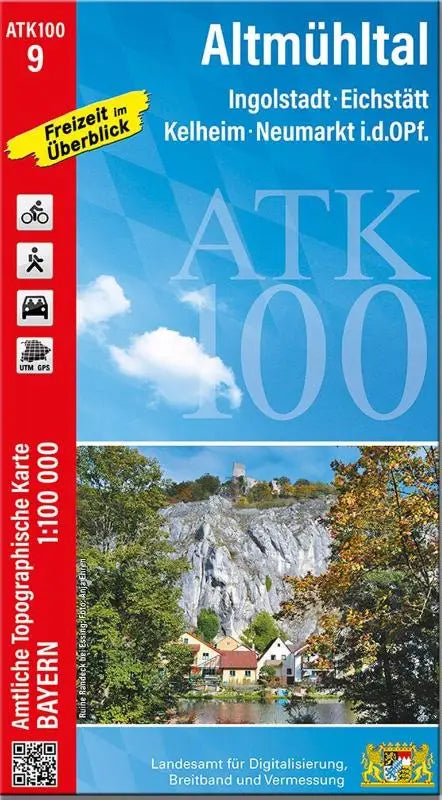

ATK100-9 Altmühltal is a topographic map from the official series Amtliche Topographische Karten Bayern 1:100000. This map covers the area around Ingolstadt, Eichstätt, Kelheim, and Neumarkt i.d.OPf. and is intended for accurate geographic orientation and terrain reconnaissance.
The map is a detailed and accessible publication within the collection of official topographic maps, suitable for professional and recreational users who value current and reliable topographic information.
- Subtitle: Ingolstadt, Eichstätt, Kelheim, Neumarkt i.d.OPf.
- Series: Amtliche Topographische Karten Bayern 1 : 100 000
- Format: topographic map
- Product type: topographic map (ATK100-9)