
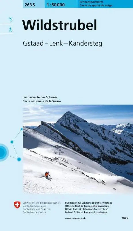

The 263S Wildstrubel snow sports map is a detailed topographic map for the Gstaad, Lenk, and Kandersteg region. This map is part of the Schneesportkarten series at a scale of 1:50 000 and is aimed at winter sports enthusiasts and mountain lovers who are looking for reliable and accurate information.
The map provides clear, easy-to-understand information and is suitable for use during winter activities such as skiing and hiking. Thanks to the carefully produced topographic details, the 263S Wildstrubel Schneesportkarte is a practical tool for both recreational use and professional planning.
- Subtitle: Gstaad - Lenk - Kandersteg
- Series: Schneesportkarten 1:50 000 (S series)
- Format: topographic maps