
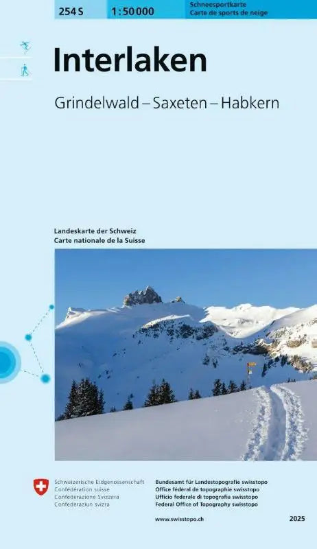

The 254S Interlaken Snow Sports Map is a detailed topographic map intended for winter sports enthusiasts and hikers in the Grindelwald, Saxeten, and Habkern region. This map provides a clear and reliable depiction of the terrain, ideal for route planning and navigation.
The Interlaken Snow Sports Map offers insight into the snow sports areas and is suitable as a reference work for recreational visitors who want to become familiar with the surroundings.
- Subtitle: Grindelwald - Saxeten - Habkern
- Series: Snow Sports Maps 1:50 000 (S-Series)
- Format: topographic maps