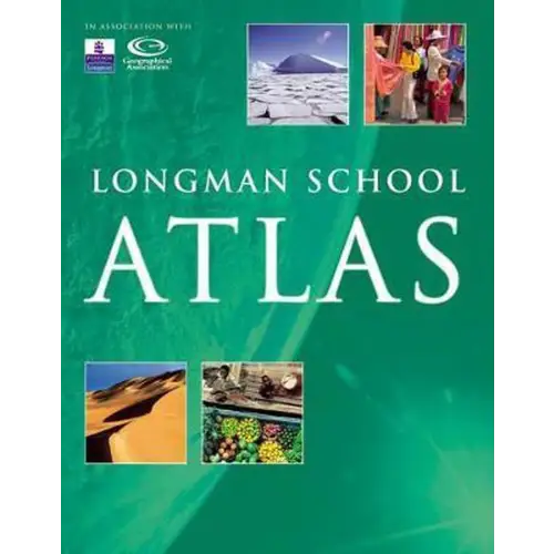
What makes these atlases so special? They're not only captivating but also informative, thanks to stunning photographs and engaging discussion points. Each map includes engaging statistics, ensuring your students' interest is constantly renewed. The content of these atlas maps is curriculum-aligned, thanks in part to insights from the Geographical Association. This ensures they're perfectly suited to teaching Key Stage 3 and Key Stage 4.
The atlases are designed to meet the needs of your students. Designers at Dorling Kindersley, in collaboration with the Geographical Association, have worked to ensure the accessibility and user-friendliness of these maps. Created by trusted specialists, they incorporate Dorling Kindersley's visual excellence, along with the expertise of the Geographical Association and Longman's curriculum insights, resulting in high-quality atlas maps.
The Longman School Atlas introduces core topics such as interdependence, the environment, globalization, change, and development. A dedicated chapter addresses development issues. "Earth from the Sky" sections provide satellite images and aerial photographs of each continent, giving students hands-on experience with a variety of secondary sources. Furthermore, the atlas includes a section on map skills, providing clear guidance on how to best use the atlas.

